
Every coastal engineer needs a surveying team with all the necessary equipment. Astute Surveying has done a wide range of coastal projects at dams, rivers, lakes, oceans, and other water bodies, with a ton of experience in the field. Below are some reasons clients choose us:
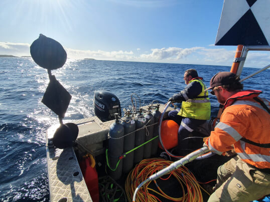
• Certified: Having level 1 hydrographic surveyor certification with the AHSCP, you can trust that we are experienced and fully competent to carry out the required tasks. With over ten years in the industry, we have assisted with numerous tasks across the marine spectrum.
• Unique solutions: Knowing that every project is different, our team customises our approach to fit your needs. We have worked on hundreds of projects, and have developed strategies for each case, learning that innovation is pivotal in providing dependable, quality solutions.
• Flexible and understandable: At Astute Surveying, we own all the latest equipment, meaning we don’t need to rent or outsource. This helps us be flexible and available upon your request for any of your marine or coastal projects. We respect your deadlines and will produce understandable reports in a timely fashion. Our reports are also tailored to your needs to ensure the data output provides the exact information that your team needs. See our Facebook page for some of the recent projects we have managed.
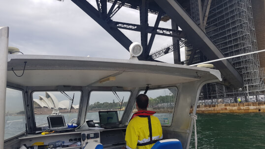
The main purpose of port and harbour surveys is to provide vessels with the information they need for safe navigation. The data provides ships with accurate depth measurements for the safe navigation according to the draft of the vessel. As the depths of channels and berths can change over time, regular survey is required. These surveys also detect hazards like large objects that have been dumped or fallen into the water, these need to be detected and removed as they pose a threat to vessel safety.
The information is provided to the Harbour Master of the port and promulgated in the hydrographic charts.
2026 © All Rights Reserved. Website by Cloud Concepts
