We provide hydrographic (also known as bathymetric) surveys for any type of marine-based project. These include:
In addition to our core services, we also facilitate:
Providing the most usable and applicable bathymetry is a complex science and requires a clear understanding of our clients’ specific needs.
Our approach to each project is to work closely with our clients to ensure we have a clear understanding of their requirements and that they are satisfied with the solutions we will provide.
To do this, we draw on over 10 years of experience working on marine based projects and an in-depth knowledge of technology and vessel capabilities.
We always strive to use innovative ways to find the most effective and efficient solutions for your project.
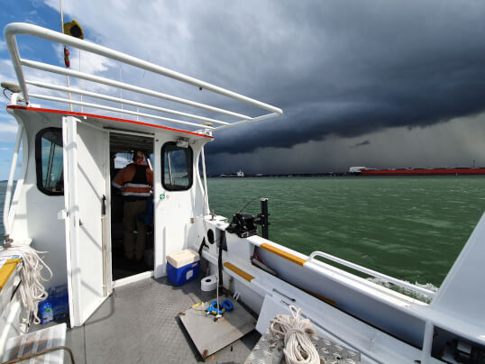
Hydrographic surveying companies use specialised equipment to measure and map the physical features of underwater sites, such as harbours, lakes, and coastlines. Hydrographic surveyors also measure the water depth, providing valuable information for shipping safety, navigation, and marine construction projects.
Hydrographic surveying companies often work with engineering teams in the planning phase of marine projects. Getting a hydrographic survey of your underwater site ensures you understand the exact layout of the area and how it will influence your design. You may need a hydrographic survey for the following types of projects:
- Dock or marina construction
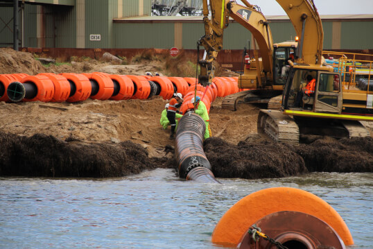
- Dredging
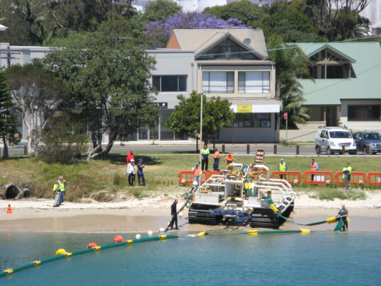
- Port and harbour mapping
- Waterway planning
- Seafloor infrastructure installation and maintenance
Astute Surveying offers reliable hydrographic surveying services for private and state marine construction projects. We are registered members of the Surveying & Spatial Sciences Institute and the Australasian Hydrographic Society. Get an online quote to start planning your next project today.

We use leading edge Hydrographic Survey equipment, which is owned, not hired. Therefore, mobilisation requires no training or trial period. We offer fast data turnaround with minimal waiting time to upload to key operators.

We own the most up to the minute survey technology, offering the most accurate results. We update our technology regularly to continue to exceed the standards. Our specialised equipment is designed to enable us to achieve accurate results in more weather conditions, minimising downtime.

2026 © All Rights Reserved. Website by Cloud Concepts
